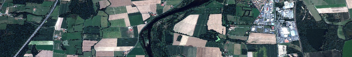
The continuous proliferation and improvement of satellite sensors yields a huge volume of Earth’s images with high spatial and temporal resolution. To efficiently extract the information from these data for real-life applications, it is crucial and urgent to devise new representations for these images. The goal of the EPITOME project is to devise a novel effective representation for large-scale satellite images, that would be generic, i.e., applicable for images from all over the world and for a wide application range, and structure-preserving, i.e. best representing the meaningful objects in the image scene. To address this challenge, we will bridge the gap between advanced machine learning and geometric modeling tools to devise a multi-resolution vector-based representation, together with the methods for its efficient generation and manipulation. Numerous applications will benefit from this new information layer for large-scale image data, such as natural disaster monitoring, urban development planning and autonomous driving.