
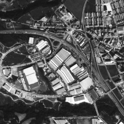
 Satellite imagery offers a huge amount of useful information in many specific domains including cartography, meteorology, geology, environment sciences or archeology.Remote sensing images have however specificity that make usual visual features and algorithms failing: very high and heterogeneous resolutions, more textural and spectral contents and high visual ambiguity. To adress these issues, we did propose several new dedicated description methods and specific retrieval schemes.
Some publications : [IGARSS2010], [ICIAR2009], [URBAN07], use of relevance feedback for interactive search [ITGRS07]
Online Demo : Relevance Feedback on remote sensing images